
Enterprise Neighbors by Parcel
For an Enterprise block, public sources describe nearby parcels and their record context, not a list of people who are present in each home. Begin with one address, then make a separate entry for every surrounding APN. The County’s map, Assessor card, Recorder index, and historic directory collections each answer a different question. Treat the result as an address-and-parcel worksheet. It is more reliable than combining names from unrelated sources.
| Source | What It Shows About a Block | Access |
|---|---|---|
| OpenWeb property layer | Adjacent geometry, APNs, situs, selected-parcel details, and record links | Public viewer; reference-only and no warranty |
| Assessor address or APN record | Owner of record, mailing and situs fields, legal description, and assessment context | Public web search by parcel |
| Recorder APN or name index | Recorded parties and instruments tied to a selected parcel | Public index and copy route; coverage limits apply |
| GIS ZIP and place layers | Postal and legal-place context around a parcel | Public map data; not a resident list |
| Voter reports and services | Regulated registration, status, precinct, or statistical material | County service and statutory limits; no street-wide lookup captured |
| Historical Criss-Cross materials | Dated address-to-subscriber or household leads | Library, UNLV, or museum access by collection |
An owner name, mailing address, or party on a deed is not proof of current occupancy. Nearby parcels can also differ in ZIP, legal town, tax district, planned land use, and elected district even when they share a street.
Enterprise Neighbors Start With an APN
Choose a target APN before looking around a block. In Clark County OpenWeb, Search Tools accept a name, address, or parcel number. A selected parcel is outlined, and a double-click opens its parcel and district details. Record the target APN, situs address, legal town, subdivision, lot or block, and source date before selecting an adjacent parcel. That first record keeps a nearby-address search from drifting across a ZIP or town boundary.
The process is straightforward: address or APN → selected parcel → adjacent APNs → parcel details → Assessor card → specific Recorder instrument. Each arrow changes the evidence type. A visually adjacent lot is a geographic relationship only, not evidence of a household relationship between the addresses.
Open the OpenWeb parcel viewer to begin the handoff.
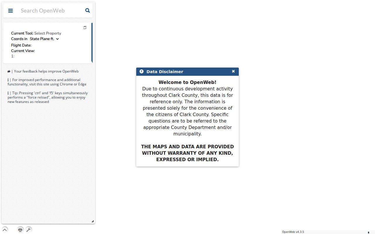
The viewer also offers select, multi-select, point, shape, buffer, measure, print, and export tools. Use the spatial tools to identify parcels, not to infer personal ties among the people associated with them.
Map Enterprise Neighbors by APN
Work outward from the target parcel in a small, documented group. The goal is a record of nearby property context, not a broad people search. The map’s multi-select and buffer controls can help identify several parcels, while the Assessor and Recorder links provide the separate record systems needed for verification. For a whole named road rather than an immediate block, the Enterprise street directory uses the fuller address workflow.
- Search the target address or APN, select the parcel, and copy its legal town and situs fields.
- Select one adjacent parcel at a time, or use multi-select or a small buffer for a bounded group.
- Create a row for each APN with its situs address, legal description, subdivision, lot or block, and the date checked.
- Open the Assessor card for the parcel context, then follow to Recorder only when an instrument or transfer question is specific.
- Keep mailing address, owner-of-record, and dated directory evidence in separate columns rather than merging them into an occupancy claim.
Note: A parcel map has a reference-only and no-warranty disclaimer, so recorded documents remain the stronger source for legal property detail.
Enterprise Neighbors on Assessor Cards
Clark County Assessor Real Property Records supplies the parcel-level check after OpenWeb selection. Its address form includes street number, direction, name, type, City/Town, phonetic search, and a current-parcel-number or present-and-prior-owner preference. Preserve the street spelling and select Enterprise as the legal town when known. A supplied street number can produce results within three blocks, so confirm the selected APN rather than relying on a similar address.
The inspected parcel-card model includes owner and mailing fields, location address, City/Unincorporated Town, legal description, plat information, tax district, appraisal values, construction and sale information, and structure fields where populated. It is useful for checking a selected parcel, but it does not create a public roster of local occupants.
Use the Assessor search hub to verify a selected adjacent parcel.
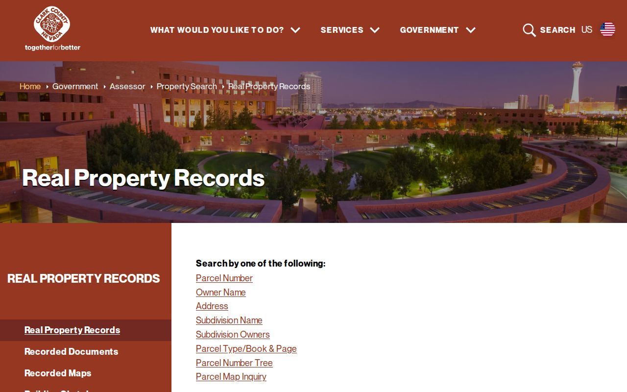
Keep the checked date with every card. Assessment maps are not surveys, and a mailing field is not a statement that the recipient lives at the site.
Enterprise Neighbors and Legal Towns
Enterprise is an unincorporated Clark County town, and its address records may use a Las Vegas mailing city. The Assessor and OpenWeb samples label the legal field as Enterprise while mail may carry Las Vegas and one of several ZIP codes. Do not replace the legal-town field with the postal city when building a block worksheet. USPS validates delivery formatting; it does not establish municipal status or property jurisdiction.
| Field | How to use it |
|---|---|
| APN | Parcel key for the Assessor, map, and Recorder handoff. |
| Situs address | Physical property location used to align map and parcel data. |
| Legal town | County jurisdictional field, which can read Enterprise. |
| Mailing city and ZIP | Postal contact information that may read Las Vegas and must be kept separate. |
| Legal description | Subdivision, lot, unit, or plat context for distinguishing similarly addressed land. |
This separation is particularly important near ZIP or planning boundaries. A shared street name is not enough to establish that two records describe the same legal place.
Enterprise Neighbors Context Layers
OpenWeb can add zoning, planned land use, flood, tax or census, and elected-official layers to a parcel view. These layers help explain the block’s administrative and land-use context. They do not identify who lives in a home. Tax districts are also administrative clues, not neighborhood names. County material notes several Enterprise Town districts, so a different tax-district number on a nearby parcel is not unusual.
Mountain’s Edge and Southern Highlands are useful planning and parcel contexts, not public member lists. County planning identifies Mountain’s Edge as a planned community approved in 2002, which can explain a modern subdivision pattern in a map view. Use the parcel’s subdivision and plat fields before attaching a neighborhood label.
Enterprise Neighbors and Recorder Records
Use the Recorder only for a defined property question. After selecting an APN and checking the Assessor card, search the Recorder by parcel, name, date, document type, instrument number, or legal description as appropriate. The official online index reaches Official Records from 1988, while older material is on microfilm. A record result can identify principal parties, document type, recording date, and instrument or book-page route, but it should not be used to announce who lives on a block.
When an instrument matters, verify it through the Recorder parcel search and request a copy through the County’s official process if necessary. The index is a lead; a recorded document controls for legal facts. Avoid a broad name search when the APN, date range, or document type can answer the actual question.
Enterprise Neighbors Civic Contact
Enterprise’s reliable public community-government contact is the County-created Enterprise Town Advisory Board. The County’s TAB and CAC role explanation describes its advisory and liaison function for community concerns, meeting material, and member information. It is not a resident directory, and the research did not locate a public County umbrella directory of private associations, block watches, or member rosters. A private association may publish its own contact or meeting information, but that scope must be verified for a specific subdivision.
Enterprise Town Advisory Board
County advisory body and community-contact route for Enterprise planning and liaison matters. Public meeting and board information may be available through the County.
Historic community research has a different route. Library District Special Collections, UNLV, the Clark County Museum, and the Clark County Nevada Genealogical Society can provide collection-based leads without implying that private membership data is public.
Enterprise Neighbors Source Comparison
Official parcel records and commercial neighbor compilations serve different roles. County sources let a researcher inspect the source date, parcel identifier, and custody of a fact. Commercial compilations may combine marketing, address-history, and public-index material, which can be stale, duplicate a name, or blend nearby addresses. They do not replace the APN-to-map-to-record workflow.
| Source category | Best use | Limit |
|---|---|---|
| Official parcel, Assessor, and Recorder records | Verify a selected parcel, source date, and recorded-property lead | Owner or party fields do not prove present occupancy |
| Commercial neighbor compilations | General discovery prompt only | May be stale, merge identities, or confuse adjacent addresses |
| Historic directory materials | Dated address association when collection coverage supports it | Not current proof and not every road or household is listed |
Lawful Enterprise Neighbors Research
Keep the block search to lawful, personal research and source-based parcel facts. Renters, non-owner occupants, household members, Nevada Confidential Address Program participants, confidential voter locations, DMV personal information, utility accounts, and delivery-customer records are outside this public parcel workflow. NRS 293.530 and NRS 293.558 protect voter information in defined circumstances, and Clark County Elections did not provide a captured public street-wide voter lookup.
Source-date any visible owner field, do not republish raw voter data or personal contact details, and stop if a result is sealed or protected. Nevada’s Confidential Address Program provides address shielding for eligible people and must never be defeated through record matching.
Personal and lawful use. Use nearby-parcel research for civic curiosity, property context, and careful personal research. Do not use any result to stalk, harass, intimidate, or harm another person; Nevada law addresses harassment and stalking in NRS 200.571 and NRS 200.575.